TRT Tahoe City to Brockway Summit: Filling the gaps
South of Watson Lake
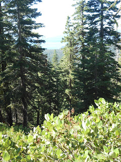
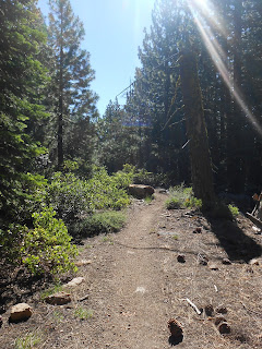
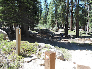
The first part of the trail follows a short spur road off the end of the first switchback on the fiberboard freeway as it drops below Mt Watson.It then follows a gradual straight line down hill slope to the junction with the Barton Creek Park Connector.
The trail then climbs steeply for 300 feet elevation gain to top the ridge east of Mt Watson.
The trail then descends to the edge of Watson Lake Campground.
North of Watson Lake
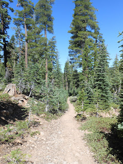
The trail starts at the edge of Watson Lake Campground and goes around the East and North shores of the lake.The trail then follows Watson Creek on a very gradual trail through meadows.
The trail then leaves Watson Creek veering to the north and starts descending into another creek.
I then arrive at the meadowy creek I had hiked to from Brockway Summit.
I will put new running totals after the fifth article - "Grass Lake Jct. to Peak 9587'". I've completed some of the official TRT segments so I can use official segment mileages making the math much easier.


No comments:
Post a Comment